
Kolkata, March 12, 2025 – The three-day International Symposium on Sustainable Futures, organized by Techno India University, successfully concluded today with an exclusive session dedicated to Geospatial Technology. This session brought together leading scientists and industry experts who shared valuable insights into the role of remote sensing, GIS (Geographic Information Systems), and satellite data processing in tackling global challenges such as climate change, urban planning, and disaster management.
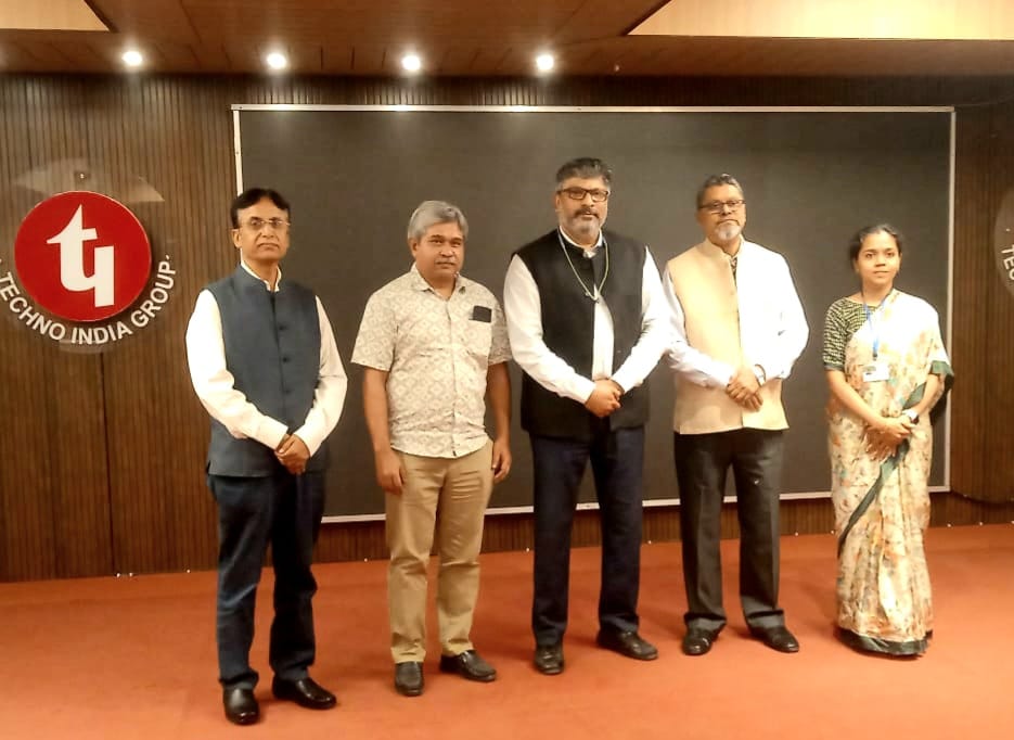
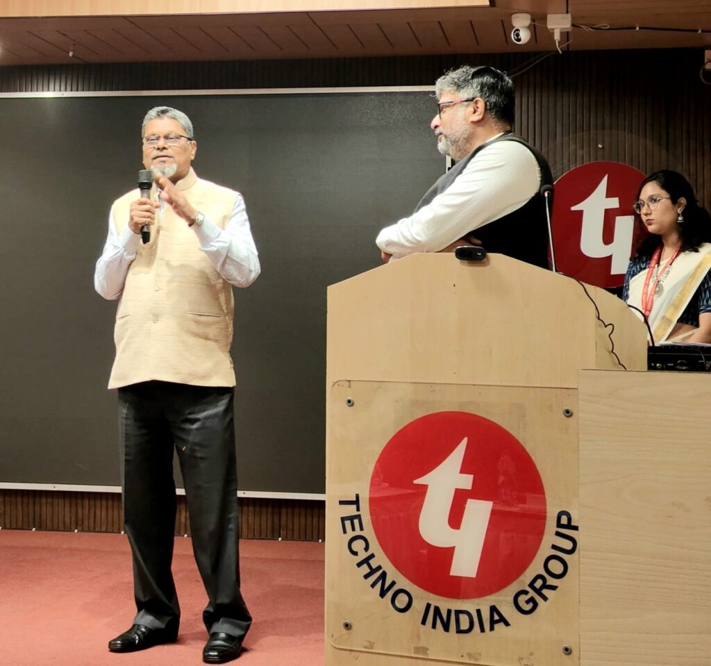
The event was graced by distinguished speakers who participated both online and offline, offering diverse perspectives from academic and industrial backgrounds.
- Mr. Sanjay Srivastava from the United Nations Economic and Social Commission for Asia and the Pacific (UN ESCAP), Bangkok, shared insights on the application of geospatial technology in disaster risk reduction and sustainable development. His expertise in climate resilience and environmental monitoring provided a global perspective on the subject.
- Dr. Virendra Singh Rathore, a remote sensing expert from BIT Mesra, discussed modern satellite imaging research and its useful applications in ecological change and natural resource monitoring.
- Mr. Saurav Verma from the Science & Technology Park, Pune, highlighted how geospatial intelligence is transforming urban infrastructure planning and enhancing smart city initiatives.
- Mr. Dwaipayan Dighal, Senior Zonal Manager at ESRI India, delivered an engaging session on advanced satellite data processing. Representing a world leader in GIS solutions, his talk demonstrated how geospatial analytics is revolutionizing industries such as agriculture, transportation, and public health.
The International Symposium ended on a high note with a cultural program, which celebrated the blend of science and tradition. Participants and guests enjoyed an evening of music and performances, marking the conclusion of an intellectually stimulating conference.
Over the past three days, the symposium served as an exceptional knowledge-sharing platform, featuring discussions on climate change, microbial threats, and geospatial technologies for coastal resilience. The final day’s focus on Geospatial Technology emphasized the importance of leveraging satellite data and GIS tools for environmental sustainability and disaster management.
The event was a remarkable success, bringing together experts, researchers, and students to foster innovation and scientific collaboration. With thought-provoking discussions and engaging sessions, the symposium reinforced Techno India University’s commitment to scientific excellence and global knowledge exchange.